Neven Bočić
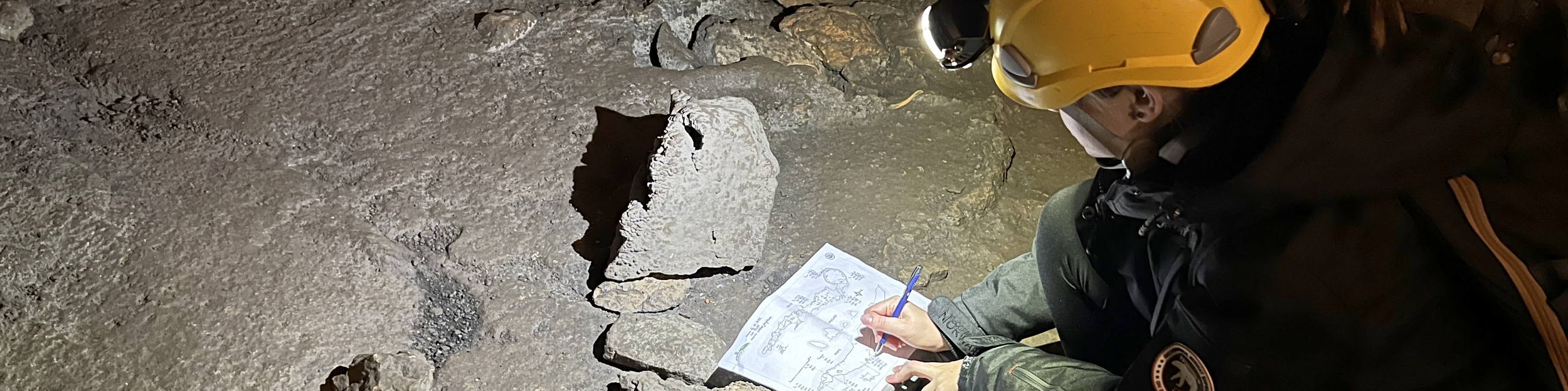
The Barać caves are situated in the SE part of the Una-Korana plateau near the border with Bosnia and Herzegovina, within the inner belt of the Dinaric Karst in Croatia. The caves developed in lower Cretaceous carbonate rocks (dominated by limestones and limestone breccias) (CGS, 2009; Velić and Vlahović, 2009). This is an area of shallow karst with a limited surface drainage network and with several major streams that have deep canyons incised into the plateau. The landscape is dominated by a dense doline network and numerous dry valleys (Bočić et al., 2015). Speleogenesis mainly takes place in the epiphreatic zone (Bočić, 2009a). The entrances to the Upper and Lower Barać caves are at altitudes of 331.5 and 309.5m a.s.l. respectively (Kovačević, 2003). The karst plateau surface above the cave is at the altitude of about 345 m, which means that the thickness of the overlay above the caves (especially the Upper Cave) is relatively thin.
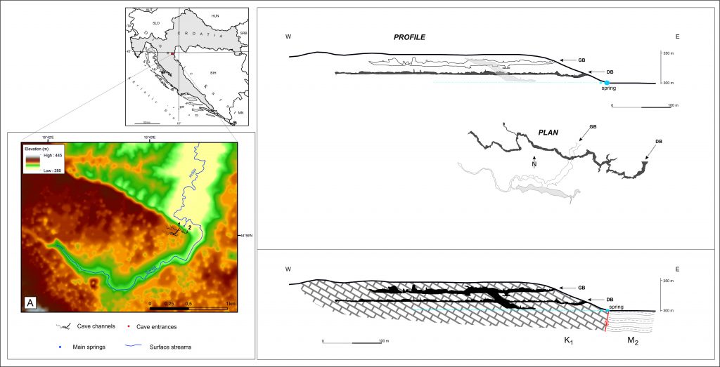
The length of the Upper Barać Cave (GB) is 520m (Kovačević, 2003). It consists of three main parts. The entrance part (from the entrance to the 140 m point) generally has the characteristics of phreatic morphology. The second part (from the 140 m point to the end of the channel approximately 315 m from the entrance) has vadose canyon morphology. These parts are horizontal. The third part is a steep side channel with length of about 130 m, and has polyphase origin.
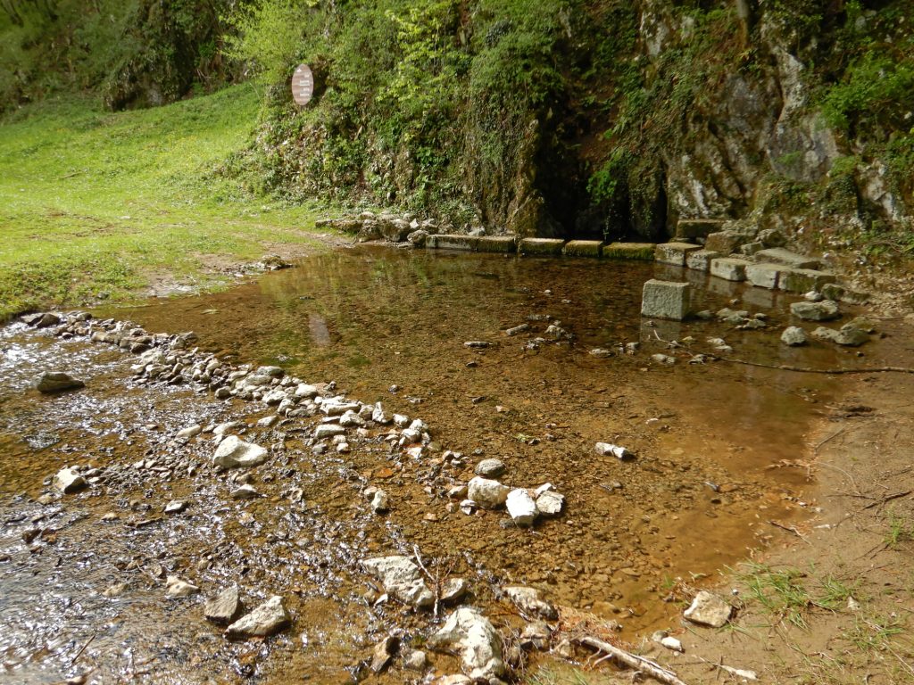
The length of the Lower Barać cave (DB) is 565 m (Kovačević, 2003). It consists of one main channel of water table origin and several smaller branches. The genesis of both caves is related to the karst ground water flow that emerges (Baraćevac spring) in the foothills below the entrances of the caves. The cave channels have most likely evolved in epiphreatic conditions and represent the old levels of underground flowing streams, which exist due to karstification and tectonic uplift and then became hydrological inactive (Bočić, 2015; Czuppon et al., 2018).
Literature
Bočić, N., 2009a. Relations between speleogenesis and surface morphogenesis of an exhumed karst plain (The Slunj karst plain, Dinaric karst, Croatia). In: Proceedings of 15th International Congress of Speleology “Karst Horizons”, Kerrville, Texas, USA, vol. 2. National speleological society, Kerville, pp. 808-813
Bočić, N., 2015. Geomorfološko i geospeleološko vrednovanje područja Baraćevih špilja [Geomorphological and Geospeleological Evaluation of Barać Caves Area]. Report. State Institute for nature Protection, Zagreb, Croatia (in Croatian).
Bočić, N., Pahernik, M., Mihevc, A., 2015: Geomorphological significance of the palaeodrainage network on a karst plateau: the Una-Korana plateau, Dinaric karst, Croatia. Geomorphology 247, 55-65, DOI: 10.1016/j.geomorph.2015.01.028
CGS, 2009. Geološka karta Republike Hrvatske 1:300.000 [Geological map of the Republic of Croatia, 1:300,000]. Croatian Geological Survey, Zagreb (in Croatian).
Czuppon, G., Bočić, N., Buzjak, N., Óvári, M., Molnár, M., 2018. Monitoring in the Barać and Lower Cerovačka caves (Croatia) as a basis for the characterization of the climatological and hydrological processes that control speleothem formation, Quaternary International 494, 52-65. DOI: 10.1016/j.quaint.2018.02.003
Kovačević, T., 2003. Baraćeve špilje [Barać Caves]. Turistička zajednica Općine Rakovica, Rakovica (in Croatian).
Velić, I., Vlahović, I. (Eds.), 2009. Tumač Geološke karte Republike Hrvatske 1: 300.000 [Explanatory Notes for Geological Map of the Republic of Croatia, 1:300.000]. Hrvatski geološki institut, Zagreb. Croatian Geological Survey, Zagreb (in Croatian).