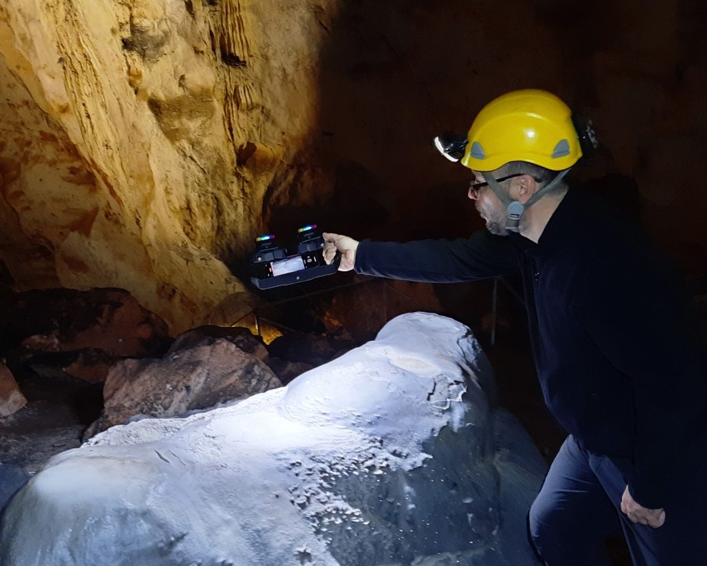
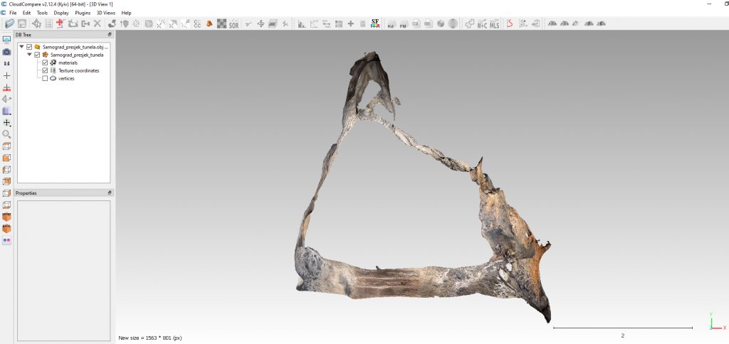
During the first year of the CARDIKARST project, a series of laser scans were performed to create models used in the modeling of physical and geomorphological processes in Samograd cave, Cave Park Grabovača. The modeling uses a workflow developed within the project using a mobile phone equipped with a LiDAR sensor (iPhone 13 Pro) and Scaniverse app. CloudCompare and Meshlab Open Source software are used to process point clouds and meshes. The collected data will be used to link the influence of microclimatic dynamics and geomorphological processes of deposition and destruction of rocks and sediments in speleological objects.
These recordings are carried out at micro locations, while the laser recording was started earlier in cooperation with the Faculty of Civil Engineering in Rijeka. More information about these recordings is available on the website https://antares.geog.pmf.hr/grabovaca/?page_id=295 (in Croatian).
Laser data models are available on the Sketchfab digital platform under a CC Attribution-NonCommercial-ShareAlike license. They are free to download for learning and research to anyone interested.
Access: Cave Park Grabovača
Feel free to dowload and experiment 🙂 We look forward to your comments and are open to cooperation.
Text: Nenad Buzjak; Photo: Suzana & Nenad Buzjak


