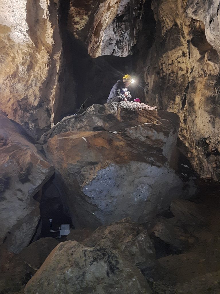
Parallel to the microclimatic measurements, a topographic survey of the Samograd cave was conducted. The aim of the survey is to obtain morphometric data about the cave to accurately determine the locations where spot measurements are taken. This way, for each measurement location, we have data on its horizontal and actual distance from the entrance, its depth/height relative to the entrance, direction, and ceiling height, all in relation to a reference point at the entrance. This data will enable us to give the microclimatic data a spatial dimension and interpret the data on air temperature, relative humidity, and CO2 concentration more accurately.
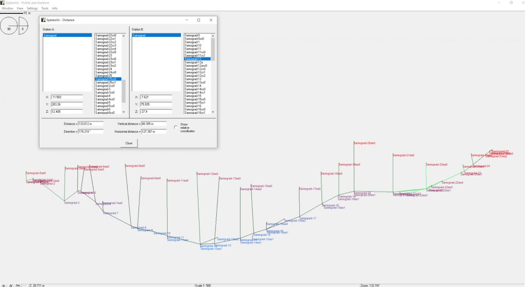
The measurements were carried out using a Leica Disto x310 laser distance meter with TopoDroid software, and for data processing on the computer, Speleoliti software was used.